MIT’s SANDO System: How It Enables Collision-Free Drone Navigation
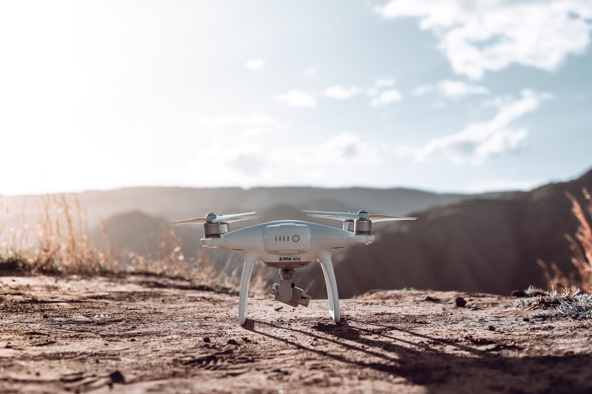
- MIT researchers developed a system called SANDO to improve robot flight safety.
- The method helps robots avoid collisions in unknown or dangerous environments.
- The findings are currently a preprint and have not undergone peer review.
- This technology aims to assist in disaster response missions.
How does SANDO improve real-time obstacle avoidance?
A team at MIT has created a planning system that keeps a robot’s flight path free from collisions. The system, known as SANDO, assists robots in navigating unpredictable or dangerous environments, such as disaster zones. By calculating flight paths in real-time, the robot can move through unknown spaces while avoiding obstacles that might appear suddenly. According to the research from MIT, this method provides a mathematical guarantee that the robot will stay on a safe path. It addresses a major hurdle in robotics: how to move quickly without hitting objects you cannot see in advance. This development could change how we deploy autonomous drones in search and rescue operations where every second matters.
Why is SANDO critical for search and rescue drones?
SANDO works by evaluating the safety of a flight path before the robot makes a move. Instead of just reacting to objects as they appear, the system creates a plan that accounts for potential hazards in its surroundings. It essentially acts as an automated safety monitor that constantly checks if the current trajectory will result in a crash. "The system ensures a robot’s flight path will remain collision-free," according to the report from MIT [1]. By prioritizing safety at the planning stage, the robot can operate with more confidence in environments filled with rubble or changing terrain. It moves beyond simple obstacle avoidance by integrating long-term path safety into its core logic.
How do robot path planning algorithms ensure safety?
Before assuming this will be in every drone tomorrow, it is important to understand the current status of the work. This research is a preprint and has not yet been through the formal peer-review process. Because it is still in the early stages, it remains a prototype rather than a finished product ready for industry use. The team has demonstrated that the logic works in controlled settings, but real-world conditions often present variables that models cannot fully predict. Correlation between laboratory success and field performance is not guaranteed, and further testing is required. You should check for future updates to see if the system performs as expected when moved out of the laboratory.
What is the Future of SANDO in Autonomous Robotics?
The researchers now face the challenge of moving from a controlled environment to the unpredictable conditions of real-world disaster zones. Future work will likely focus on how the system scales when the robot encounters multiple moving obstacles simultaneously. If the system continues to succeed in testing, it could eventually find its way into standard disaster-response hardware. For now, the team is likely refining the underlying math to ensure it can run on the limited processing power of a flying drone. Watch for future papers from the MIT team to see how they handle more complex, real-world obstacles.
- Planning system ensures a robot’s flight path will remain collision-free — MIT, Oct 7, 2026
- Planning system ensures a robot’s flight path will remain collision-free — MIT News, Oct 7, 2026
Frequently asked questions
SANDO is an MIT-developed framework that uses formal mathematical proofs to ensure autonomous drones can navigate complex, unpredictable environments without colliding with obstacles.
Unlike traditional heuristic-based methods, SANDO provides mathematical guarantees for safety by calculating valid flight paths in real-time, ensuring the drone avoids obstacles even in dynamic settings.
While currently applied to drone flight, the underlying mathematical framework for SANDO is designed to be scalable for various autonomous robotics applications that require real-time, safe path planning.