NOAA Declares Super El Niño for 2026-2027 Winter Season
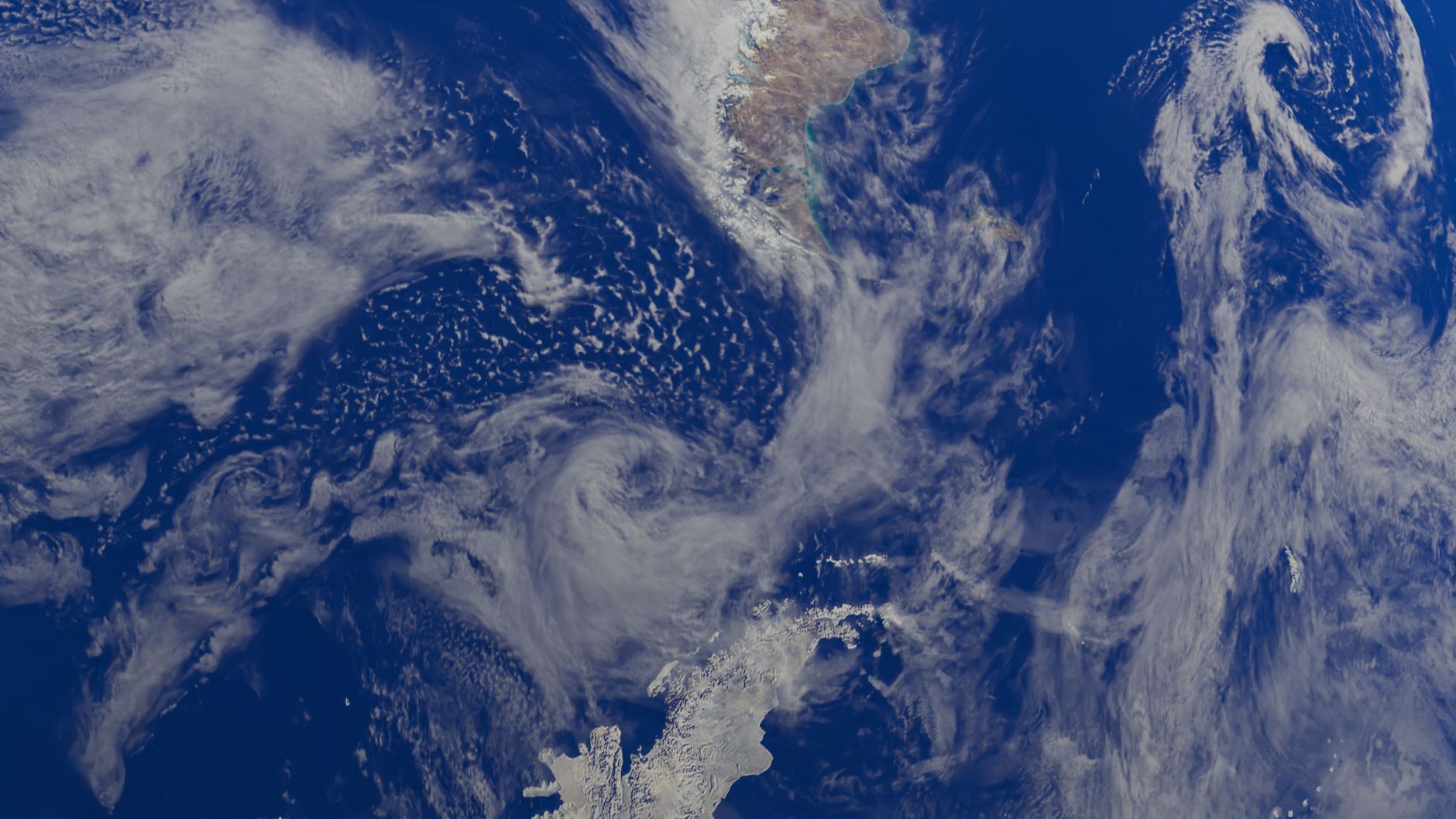
- NOAA's Climate Prediction Center officially declared a Super El Niño on November 12, 2026.
- The designation follows three months of ocean temperatures remaining 2.0°C above average.
- An active Pacific jet stream is expected to steer frequent storm systems across the southern U.S.
- The northern tier of the U.S. and most of Canada will likely experience a warmer-than-average winter.
- The current El Niño is expected to persist through spring 2027 before transitioning to La Niña.
The National Oceanic and Atmospheric Administration Climate Prediction Center officially declared a Super El Niño, or Very Strong El Niño, on Thursday, November 12, 2026. This designation requires water temperatures in the equatorial Pacific Niño 3.4 region to remain 2.0°C above average for a three-month period.
The region met this temperature threshold during the August through October 2026 assessment. An earlier assessment from July through September 2026 did not reach the 2°C requirement.
This weather pattern has remained active since late spring 2026. It will likely last through spring 2027 before La Niña conditions take over. The last Super El Niño occurred during the 2015-2016 season.
Forecasters warn of major shifts in winter weather patterns
Meteorological agencies warn that the arrival of this Super El Niño will cause major shifts in weather throughout the winter. AccuWeather reported on November 12, 2026, that these conditions will impact winter weather across the United States.
Active Pacific jet stream to drive southern storm tracks and nor'easters
Unusually warm water in the tropical Pacific strengthens the subtropical jet stream across the southern United States. This active jet stream steers repeated storm systems across the southern tier of the country, impacting regions from Southern California to the Mid-Atlantic.
Instead of tracking north through Canada, weather disturbances move east across the southern states and turn northeast along the coast.
This specific movement pattern creates favorable conditions for the development of nor'easters.
These storms intensify rapidly by drawing energy from the sharp contrast between warm and cold air. This contrast can lead to heavy precipitation, powerful winds, coastal flooding, and significant snowfall. Fox Weather reported that while nor'easters may be more prevalent, this does not guarantee higher impacts from wind, snow, or rain.
Regional impacts range from southern flooding to northern warmth
Most of Canada also faces warmer conditions due to persistent high pressure and Pacific-influenced air.
Traditionally cold and snowy regions like the Northern Rockies, Midwest, and Northeast will likely see below-average seasonal snowfall. Individual Arctic air outbreaks could still bring cold temperatures and significant snow to these areas.
Florida is particularly vulnerable to heavy rainfall and severe weather, following flooding reported in Palm Bay last week. Daytime temperatures in the Southwest, Southern Plains, and Gulf Coast may remain below average due to frequent precipitation and extensive cloud cover.
Polar vortex and record ocean temperatures influence winter outlook
Record ocean temperatures have persisted for 165 days, influencing extreme winter weather. These warm waters and associated big waves arrived this week. Meteorologists expect the first winter storms this week.
A conflict between the polar vortex and El Niño defines this winter, with the first round of interactions beginning now. The Weather Channel reports a record-early, weak polar vortex could bring colder temperatures to the United States by the week of Thanksgiving.
Localized forecasts highlight specific regional concerns
Outside Magazine published a forecast on November 11 for a "Supersized Wild Winter" and identified the towns expected to receive the most snow. Severe Weather Europe released a forecast on November 12 that predicts a shift toward snowier weather and signals a potential mid-winter polar vortex.
Michigan Public reported on November 12 that a mild winter could cause problems for the state's wildlife and agriculture.
Historic El Niño nears its peak
The Weather Network stated on November 12 that the historic El Niño is nearing its peak. The network reported that months of weather impacts are still to come.
NOAA estimates a 60% chance that a historic El Niño will occur during the current winter season.
- Super El Niño declared as forecasters warn of major shifts in weather during winter season (foxweather.com)
- Toys "R" Us Canada (Wikipedia — background) (en.wikipedia.org)
Add NewsPulse Time as a preferred source on Google